| |
D-Link
DWL-120 Air 2.4GHz Wireless USB Adapter
Product: DWL-120 Air 2.4GHz Wireless USB Adapter
Manufacturer: D-Link
Website: http://www.dlink.com
Price: $59.00 at D-Link
Shop
Release Date: Available Now
Photos:
About:
The final key to connecting the wireless network up is a USB adapter
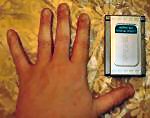
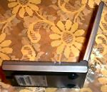
for connection to the CarPC. What makes this device so great is
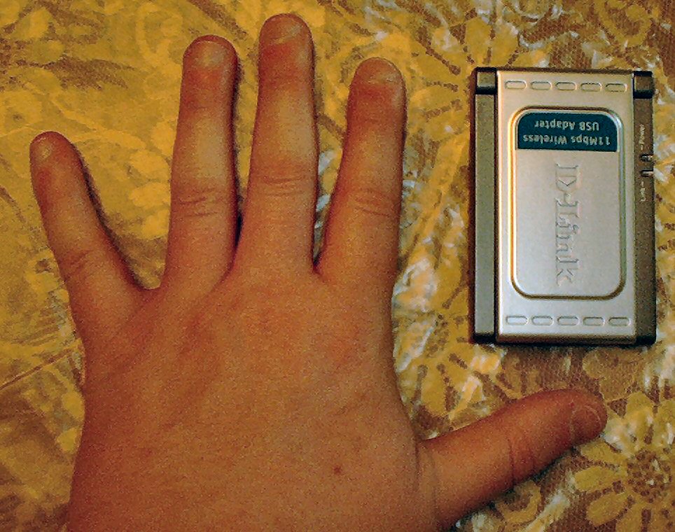
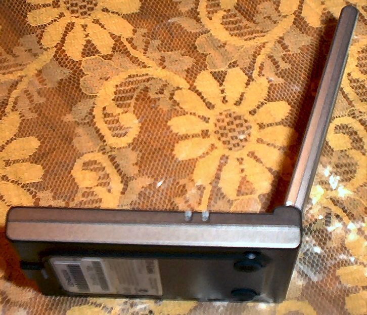
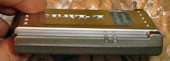
that it is very compact, sleek and features a foldable antenna.
This new product is definitely a nice improvement over the original
DWL-120's that first came out.
Features and Specs:
- Standards: IEEE 802.11b, Wi-Fi certified, USB 1.1
- Host Interface: Mini USB to A-type
- Data Rates With Automatic Fallback
- Data Rates Supported: 11Mbps, 5.5Mbps, 2Mbps, 1Mbps
- Encryption: 64-, 128-bit WEP
- Media Access Control: CSMA/CA with ACK
- Frequency Range: 2.4GHz to 2.462GHz
- Range Up to 328 feet Indoors
- Modulation: Direct Sequence Spread Spectrum
- Modulation Techniques: CCK (11Mbps), CCK (5.5Mbps), DQPSK (2Mbps),
DBSK (1Mbps)
- Transmit Output Power: 19dBm (79mW) +-2dB
- Receiver Sensitivity: -84dBm for 11Mbps@ 8% PER (Packet Error
Rate), -90dBm for 2Mbps@ 8% PER (Packet Error Rate)
- Operating Voltage: 5VDC +- 10%
- Internal Antenna: Type Dual PIFA (Patched Inverse “F”
Antenna)
- Temperature Operating: -32°F to 131°F (0°C to 55°C)
- Storing: -4°F to 167°F (20°C to 75°C)
- Humidity 5% - 95% non-condensing
- Dimensions: L=3.3 inches (85mm), W=2.2 inches (55mm), H=0.5
inches (14mm)
- Weight 1.2 lbs (544g)
- Warranty 1 Year
Delorme Street Atlas 2003
Plus
Product: Delorme Street Atlas 2003 Plus
Manufacturer: Delorme
Website: http://www.delorme.com
Price:
Release Date: Available Now
Photos:
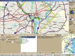
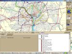
About:
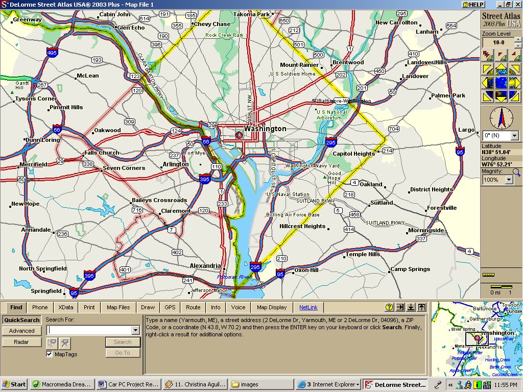
For GPS navigation software I looked over Microsoft MapPoint and
Delorme Street Atlas and after comparing the two, I decided to utilize
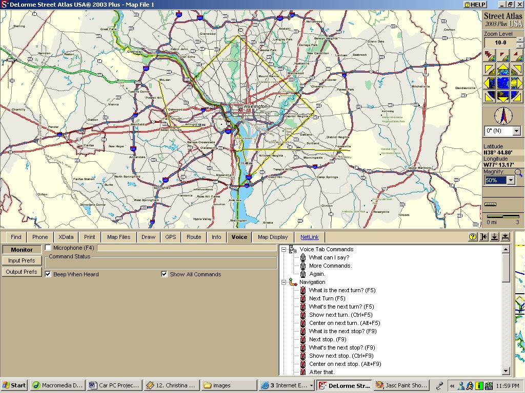
Street Atlas because of its voice navigation capabilities. For example,
if you are lost you can simply ask the computer where you are and
it will speak your current location to you as well as give you verbal
instructions to get somewhere. These voice features I think are
a must when it comes to car-based navigation.
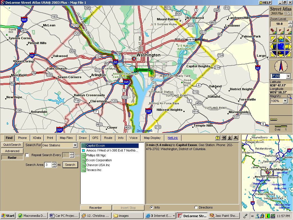
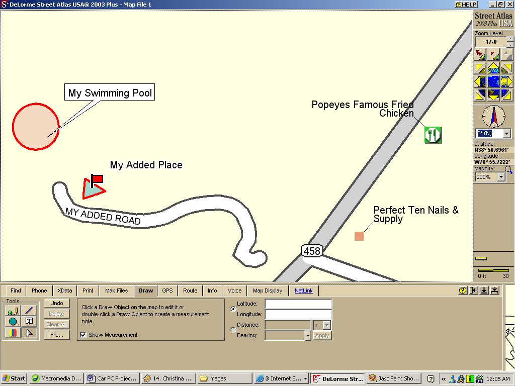
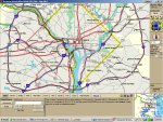
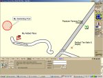
This software also has some other great features such as providing
the ability to edit the map. This is great for allowing easy addition
of roads, and landmarks, that may not be recognized by the software.
These additions can be made very simply via the set of drawing tools
included in the software.
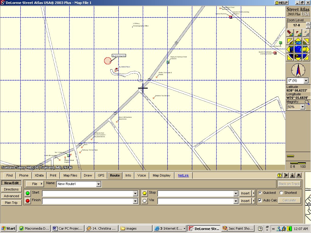
Included in the Plus pack only is a greater level of zoom as well
as data importing. You might also consider the optional phone data
also which would be great for looking up the phone number to the
local pizza place.
Features and Specs:
- XData Import Wizard – easily import your own data from
ACT!®, Goldmine®, Excel, text files, or databases
- Document Linking – tie your map locations to Internet
sites, spreadsheets, pictures, or any other documents related
to that location
- Optional Phone Data – nationwide white pages and yellow
pages on CDs or a single DVD; over 116 million listings!
- Document Sharing – use the Transfer tool to quickly and
easily e-mail map information to friends or colleagues. Any linked
URLs or documents can be transferred as part of the same e-mail
package
- Large-Format Printing – create striking full-size presentation
pieces from any plotter with large-format printing capabilities
- Demographic Data - 2000 Census data including race, age, housing,
business economics, and more
- Detail Level – zoom in one level of magnification higher
than our standard product
|